Possible excursion on Bodmin Moor
This is a temporary page containing links to the maps and description/plan for a 25 mile excursion ride.
 A brief description of the possible ride is downloadable by clicking
(here)
A brief description of the possible ride is downloadable by clicking
(here)
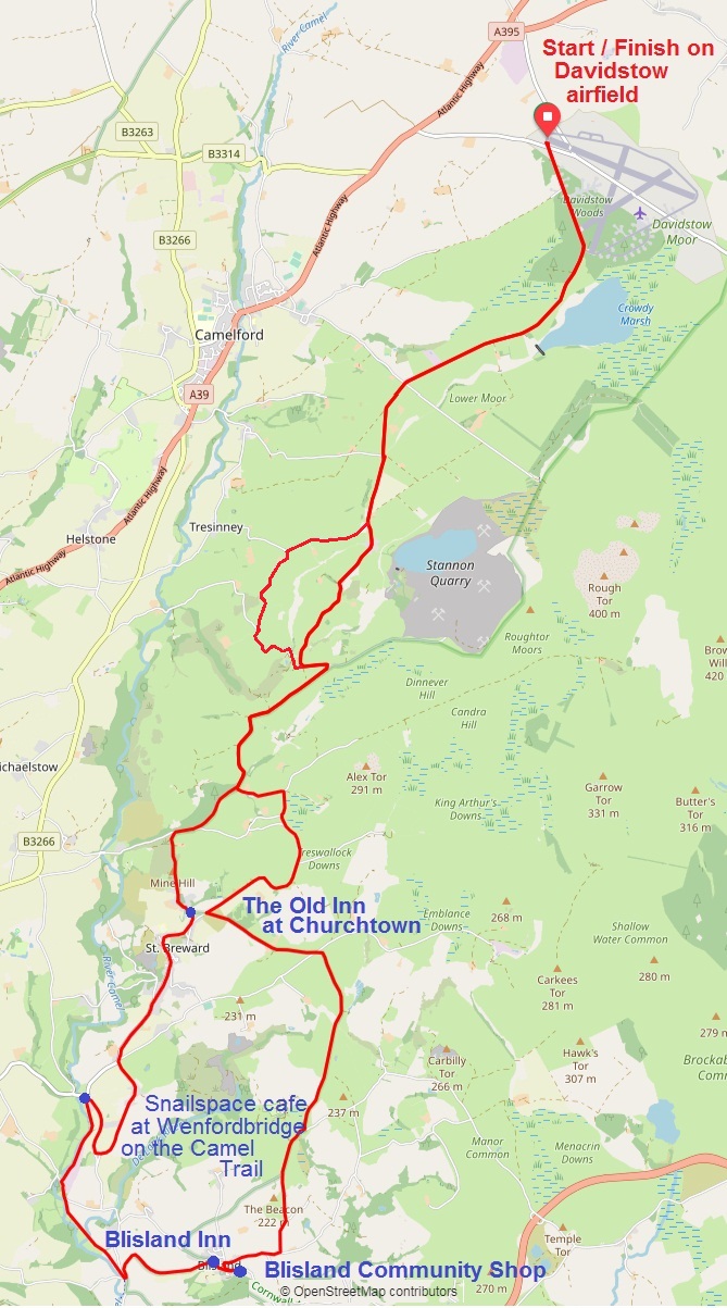
An outline map of the loop is viewable by clicking
(here)
It shows (in red) the route recorded by GPS (including the recently-added Watergate to Harpur's Downs detour).
The GPS route can be downloaded (as bodmin-moor.gpx) by clicking
(here)
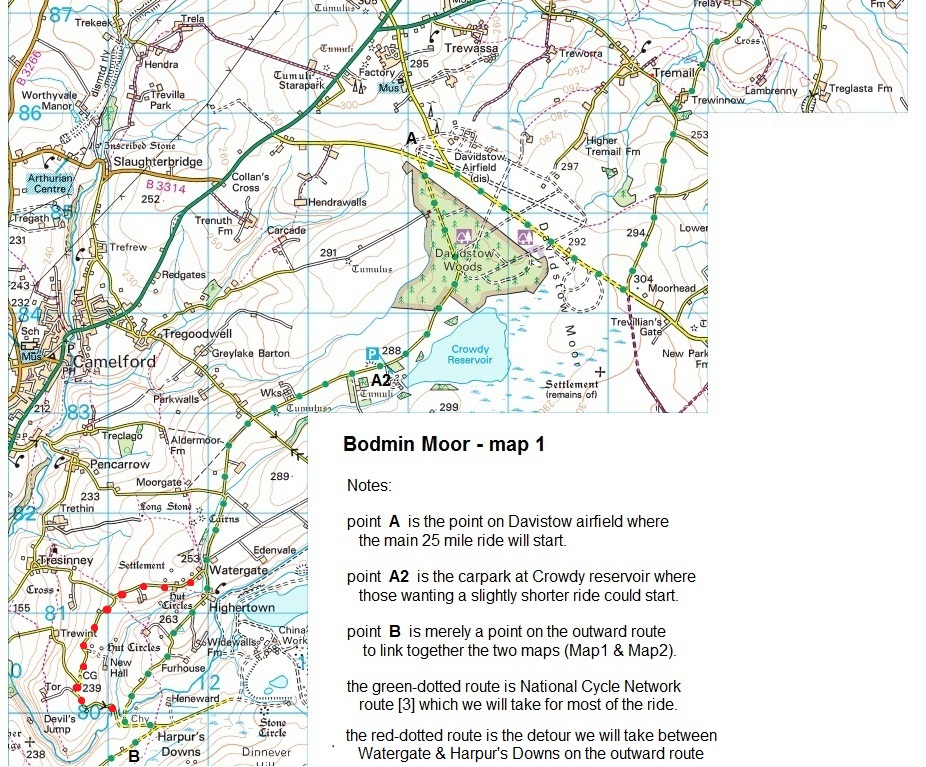
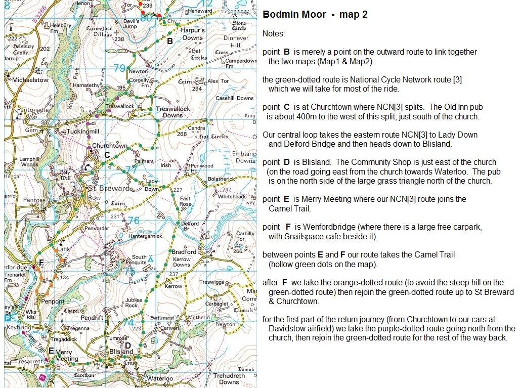
More detailed maps of the northern part (including the start on Davidstow airfield) and southern part (including the St Breward, Blisland, Merry Meeting, Wenfordbridge, St Breward loop) of the route are also viewable.
 (northern half) (southern half)

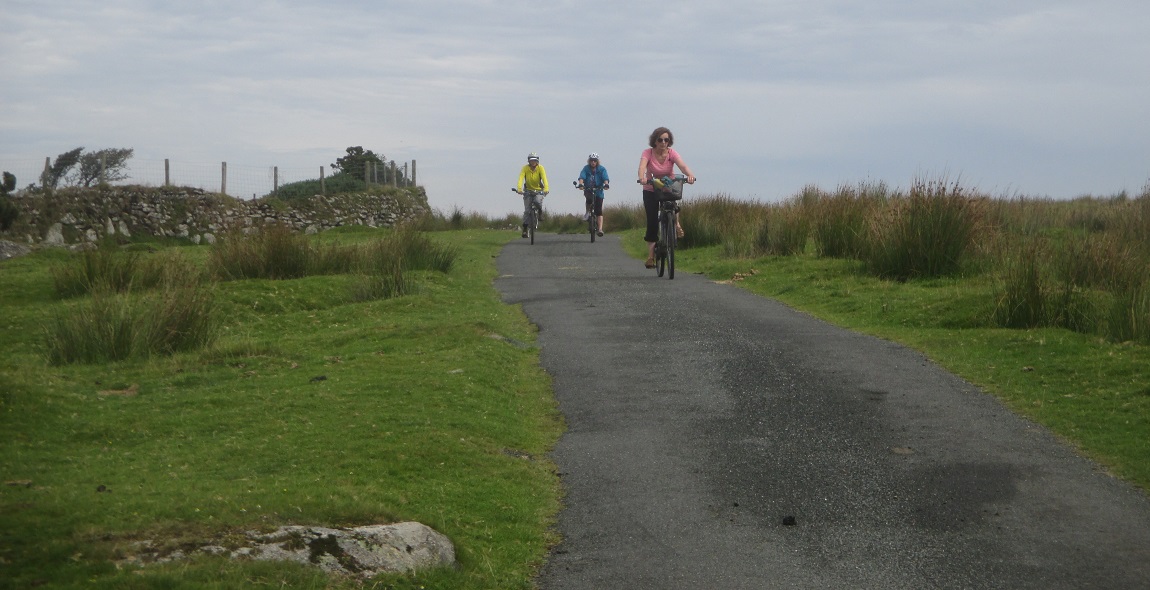
-----------------------------------------------------------
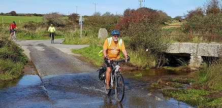 route revision
In October 2023 the outward route to St Breward was slightly changed (from the route used in the 2016 excursion) to take an attractive detour around the hill between Watergate and Harpur's Down.
While it gains less height than the original route (over the hill), it does have a steepish section just before Harpur's Downs which will be OK going down, but might have some folk pushing if it was tackled going up. Hence the detour is used for the outward route but the original route (over the hill) is taken on the way back. This variant adds 0.7 miles to the outward route (!) but increases variety.
The 'Bodmin Moor map 1' has been updated to show this detour with red dots, and a link to a .GPX file covering the whole route (as revised) has subsequently been added (link above).